San Francisco Bay Trail
BAY TRAIL SECTIONS IN SAN MATEO COUNTY & PALO ALTO
Brisbane Lagoon to Bayside Park: This section of the trail allows you to visit the Brisbane Lagoon, Oyster Point Park and Marina, San Bruno Point Park, Bayfront Park and Bayside Park. Trail Map
Burlingame to Redwood Shores: This section of the trail allows you to visit the Anza Lagoon, Coyote Point Recreation Area, Seal Point Park, Belmont Slough and the Redwood Shores Ecological Reserve. Trail Map
Redwood Shores to Ravenswood Slough: This section of the trail allows you to visit Bair Island Ecological Reserve, the Port of Redwood City and Bedwell Bayfront Park. Trail Map
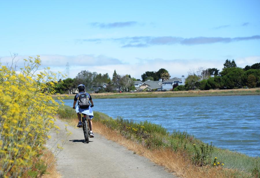
Ravenswood Slough to Alviso: This section of the trail allows you to visit Ravenswood Open Space Reserve, San Francisquito Creek, the Palo Alto Baylands Reserve, the Lucy Evans Baylands Nature Interpretive Center, Byxbee Park, all the way down to Alviso County Park in Santa Clara County. Trail Map
OUTING OPTIONS
Birding:
Bair Island: Grab your binoculars and explore a shorebird paradise at the restored wetlands of Inner Bair Island, part of the Don Edwards San Francisco Bay Wildlife Refuge. The Bay Trail leads to raised observation platforms with views out over 1,400 acres of new vegetated marsh. This is a featured Vizzit Tour. Helpful Map: Map Card #5
Colma Creek Public Shore: This marsh at the end of Colma Creek is a busy feeding zone for shorebirds and ducks, despite its proximity to Highway 101 and San Francisco International Airport. Look for activity along the marsh islands at low tide. Helpful Map: Map Card #3
Palo Alto Baylands Preserve: This well-established preserve is one of the best bird-watching destinations in the Bay Area. The marshlands are host to a sizable local population of shorebirds and a migratory stopover on the Pacific Flyway. Helpful Map: Map Card #6
Bicycling:
Coyote Point to Redwood Shores: Ride 17 miles in one direction through three cities along a continuous, mostly paved Bay Trail including towering Eucalyptus and an elegant bicycle/pedestrian bridge to restored wetlands teeming with shorebirds. Helpful Maps: Map Card #4 & Map Card #5
Walking:
Bedwell Bayfront Park: Stroll along this paved, 2-mile trail that loops around a former landfill-turned-park. From the park’s top knoll, a 360-degree view of the Don Edwards San Francisco Bay National Wildlife Refuge tempts willing hikers. Helpful Map: Map Card #5
Sierra Point to Oyster Point: Walking the 4 miles along this paved trail between two marinas brings you back in time to a place where oysters were farmed and ships were built along the edge of a calm inlet called Oyster Cove. Helpful Map: Map Card #3
